Mapping the Darkness South of Inverness

Strathnairn community now have the empirical data required to move their DarkSky International application forward. This baseline is already being used to influence local authority planning and safeguard rural night skies from light pollution.

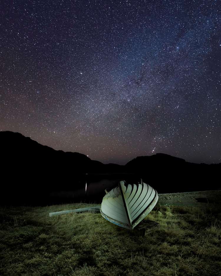
Recent sky quality tracking shows a stark contrast across our region. Moving southwest from Culloden Moor toward Errogie (near Inverfarigaig), repeat sampling with Unihedron SQM-L meters recorded a shift from 20.38 to 21.47 mag/arcsec².

A 1 mag/arcsec² difference might not seem much but this astronomical scale is logarithmic. This means the skies over Errogie are approximately 2.5 times darker than those just east of Inverness.

Read the full update, tracking methodology and project timelines here.
Landmark Dark Skies Planning Policy

The Herald Scotland has highlighted Highland Council’s consideration of a landmark Dark Skies planning policy. To support the accreditation efforts, I led the data collection and night sky field work. Partnering with Dr Andy MacGregor last winter, sky-brightness measurements were tracked across the region, identifying extensive Bortle 3 zones.

Crucially, this policy demonstrates that protecting our natural heritage doesn’t require compromising on important regional modernisation. By integrating sensible, practical lighting standards into the planning phase, the policy ensures that essential new developments in the Highlands can move forward responsibly, safeguarding our exceptional night skies for future generations without creating barriers to economic growth. Full details in the article here.